Hi everyone,
I’m currently facing issues with height (altitude) estimation on my BlueBoat platform, and I’d really appreciate any insights or suggestions.
Observations:
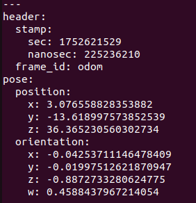
When the boat is placed on the dock at Champaign, IL (~0.5 m above calm water), the reported global altitude is ~194 m. When I lower it to the water surface, the reported altitude jumps to ~233 m, which doesn’t match reality. While the boat is stationary on calm water, the altitude varies by 7 meters, which is too unstable for localization.


Additionally, when echoing the /mavros/imu/static_pressure topic, I observe:
- Pressure fluctuating between 98400–99300 Pa
- The associated temperature (
/mavros/imu/temperature_baro) reads ~46.8 °C, which is higher than ambient (~30 °C).


I’m integrating both a stereo camera and LiDAR on the BlueBoat, and I need reliable height estimation to transform point clouds into the map frame accurately.
Questions:
- How accurate and stable are barometer and GPS altitude readings for small USVs? Are there any recommended methods to get a more stable and reliable height signal?
Thanks in advance for any help!
Best,
Yan-Liang